Lake Isabella, CA KOA

What's Your Favorite Campground? Need Information on Fuel Prices, Campground Ratings, Campgrounds available in the area you are traveling??? This is the place to look!!

Moderator: Olbird

Post Reply
User avatar
Chief409
Posts: 3945
Joined: Sun May 20, 2007 8:21 pm
Location: California Rosamond
Mojave Desert
Cardinal Owners: 2007 30WBLE
Location: California Rosamond

Lake Isabella, CA KOA

Post by Chief409 »

Our favorite for a weekend getaway. Easy access from my side of the mountain (Lake Isabella is in a valley surrounded by 6000' peaks) from Bakersfield, you wind through the Kern River Canyon. Just don't cut the corners, or bye bye awning at best, the rock walls are right off the shoulder.

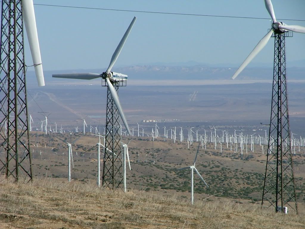
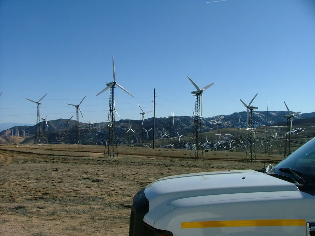
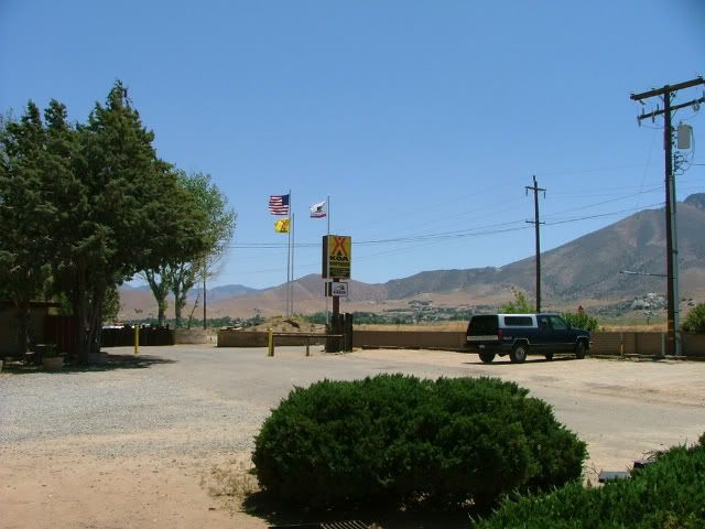
First picture is the entrance, it was windy!

Image

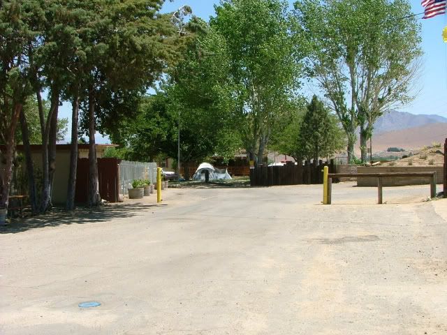
There is tent camping, a couple workcamping are living in this one. The office and swimming pool are to the left.

Image

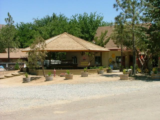
The KampKitchen. There is generally something happening here weekends and holidays, FREE FOOD!!

Image

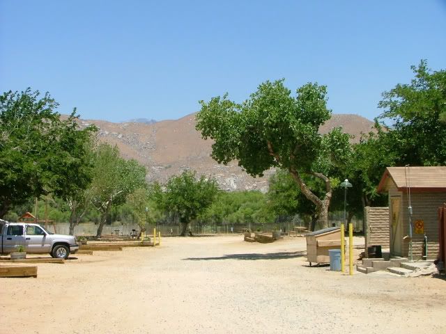
Looking to the north from in front of our trailer.

Image

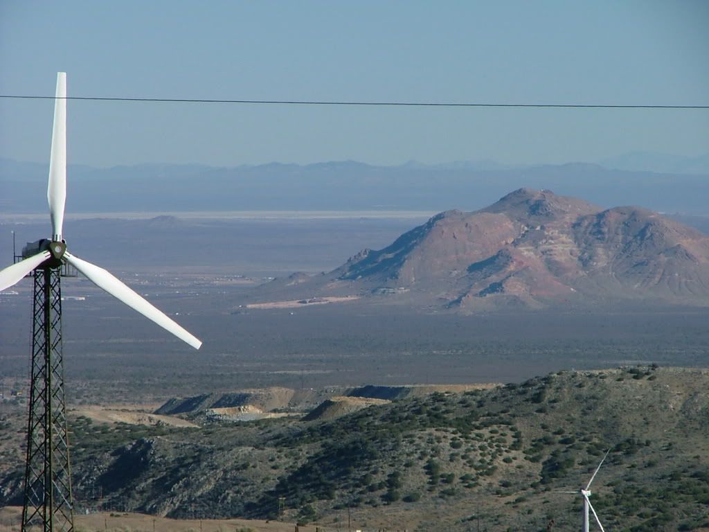
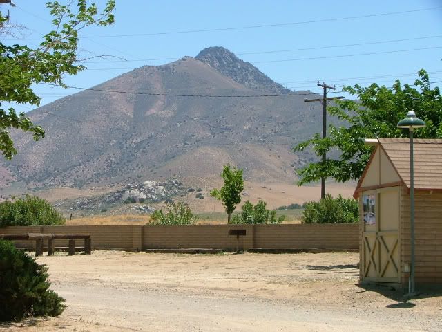
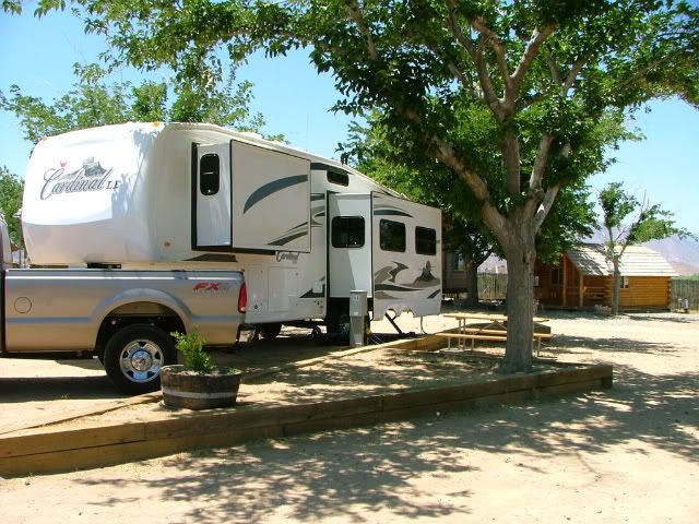
Looking to the south.

Image

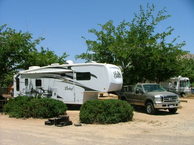
My preferred spot, by the KampKitchen.

Image

The pull thrus are convenient, at a couple on the far end of the row to the north, you need to keep an eye on limbs.
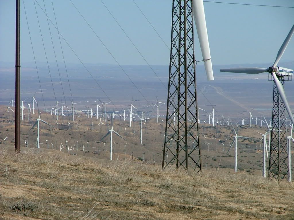
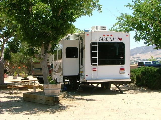
Image

Another view

Image

And in closing

Image
Jeff & Terry
U.S.N. Ret
2012 F350 Lariat FX4 6.7 Diesel Dually, Crew Cab, LWB, 50 gal Transfer Flow toolbox/tank
2007 Cardinal 30WBLE, "the 'Bird", ONAN gen.
The more I see in my travels, the more I realize there is so much more to see.
Rob & Cathy

Post by Rob & Cathy »

Speaking of wind Jeff, isn't there a large electrical wind farm in your neck of the woods? I seem to remember a wind farm on a drive a few years ago from Lancaster to Bakersfield.

Rob
User avatar
Chief409
Posts: 3945
Joined: Sun May 20, 2007 8:21 pm
Location: California Rosamond
Mojave Desert
Cardinal Owners: 2007 30WBLE
Location: California Rosamond

Post by Chief409 »

More then one. Tehachapi Pass in Kern County and Altamont Pass in Alameda County (SF Bay Area) have what are called "Wind Farms". And they are constantly being expanded and old windmills being replaced with newer ones.

Guess I have some more Photobucket material to gather, one of our microwave stations sits in the middle of the windmills about 10 miles west of Mojave.

In addition, about 40 miles east of Mojave, at the junction of CA58 and US395 is one of the original solar generating plants. Built in 1976 if memory serves me correctly. The same time period the wind farms started. All becuase of a "oil embargo" in '73/'74.

After all, in the Desert (besides a "Horse with NO NAME", love that song) Sun and Wind are a constant.
Jeff & Terry
U.S.N. Ret
2012 F350 Lariat FX4 6.7 Diesel Dually, Crew Cab, LWB, 50 gal Transfer Flow toolbox/tank
2007 Cardinal 30WBLE, "the 'Bird", ONAN gen.
The more I see in my travels, the more I realize there is so much more to see.
User avatar
Chief409
Posts: 3945
Joined: Sun May 20, 2007 8:21 pm
Location: California Rosamond
Mojave Desert
Cardinal Owners: 2007 30WBLE
Location: California Rosamond

Post by Chief409 »

Some Wind Farm pictures taken from the ridge west of Mojave, CA February 08.

Looking east towards Mojave.

Image

Image

Soledad Mt, just south of Mojave.

Image

View along the ridge to the south

Image

One thing about this, CA14 runs north/south at the base of Tehachapi Pass, and I've towed the Bird through 50+ mph gusts on many occasions!
Jeff & Terry
U.S.N. Ret
2012 F350 Lariat FX4 6.7 Diesel Dually, Crew Cab, LWB, 50 gal Transfer Flow toolbox/tank
2007 Cardinal 30WBLE, "the 'Bird", ONAN gen.
The more I see in my travels, the more I realize there is so much more to see.
Post Reply